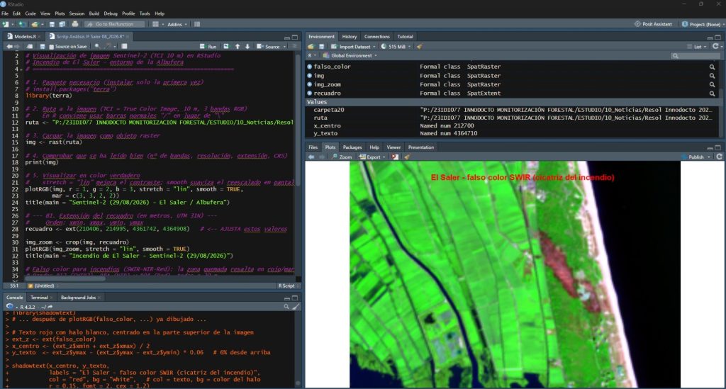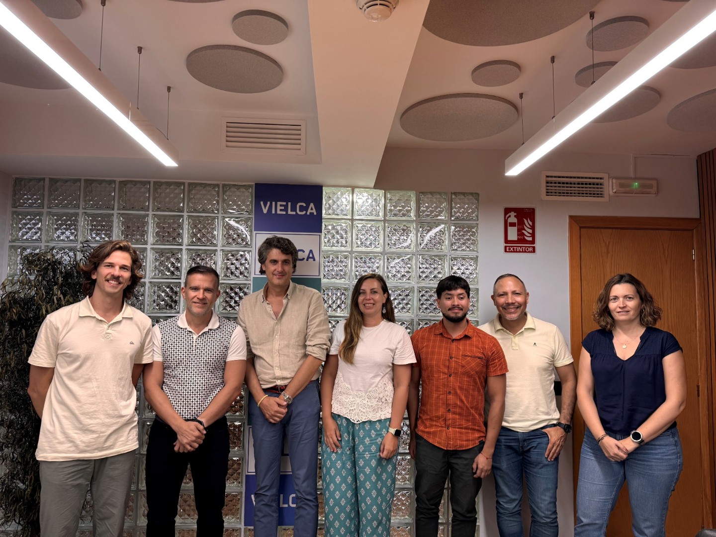
The project “Technical Excellence in Remote Sensing,” led by engineering and environmental consultancy Vielca Medio Ambiente, has achieved the highest score in its category in the industrial doctorate program of the Valencian Innovation Agency (AVI, Agència Valenciana de la Innovació), within the 2026–2028 Talent Promotion Program. Co-funded by the European Union, the project aims to leverage remote sensing (spatial and land analysis using satellite imagery, drones, and sensors) for natural hazard prevention, specifically floods and wildfires.
According to Constan Amurrio, Technical Director of the Environment Division at the Valencia-based firm, the rationale is straightforward: “The very same technology that currently allows us to measure forest loss or carbon storage in vegetation from space can be repurposed to analyze territory, anticipate areas at higher risk of flooding or wildfires, assess disaster damage rapidly and accurately, or optimize response operations as an event unfolds.”
This field has gained crucial relevance following the DANA that struck the Valencian Community, an event that highlighted the urgent need to strengthen technical tools for analyzing, preventing, and responding to extreme weather phenomena. This is compounded by recent wildfires across the region, for which the research underway in Valencia also delivers significantly more effective tools.
Innovations Delivered by the Project
After more than three years of developing and testing proprietary technology in this field, Vielca Medio Ambiente is now channeling its capabilities toward a critical priority: supporting public authorities in disaster response and land management by providing enhanced tools to predict and manage these events.
Key innovations include proprietary software tools engineered to “X-ray” the landscape (built from scratch, capable of measuring landscape changes in high detail: where forest cover is lost, how land is fragmented, and how ecological corridors between areas are disrupted).
Another major contribution is generating reliable mapping from free data. The goal is to produce accurate maps of vegetation and stored carbon relying exclusively on open-access satellite imagery, eliminating the need for expensive technology. This comes with an uncommon feature: each result is paired with its specific margin of reliability—a critical metric enabling public bodies to trust the data and make real-time decisions amid escalating climate pressure.
Additional applications include AI-driven risk anticipation models capable of pinpointing zones most vulnerable to flooding or wildfires by cross-referencing terrain, vegetation, and climatic data, as well as providing open-source, high-impact tools to the scientific community. The company actively releases many of its tools under open access. As an example, Amurrio notes, “one of our tools has already surpassed 3,700 downloads internationally—tangible proof that the cutting-edge technology engineered in Valencia holds real value and recognition well beyond our firm.”
Top Score
Scoring 98 out of 100 points, the project outperformed 25 other submissions to the Valencian Innovation Agency under Line 3 (Industrial PhDs), securing a grant of nearly €50,000 for the 2026–2028 period.
The entire project is grounded in doctoral research conducted internally at the company, with papers already published or under review in top-tier scientific journals. This combination of proven scientific rigor and practical application is rare in the environmental consulting sector, which caught the attention of the AVI.
Tangible Results
While the first stage (2023–2025) delivered operational tools, new algorithms, open-access applications, and several published peer-reviewed papers, the next phase will see these advancements progressively deployed across the Valencian territory. “The initial risk-management products—risk maps, damage assessments, and web viewers—will become available throughout 2026 and 2027, while fully integrated tools for land management are slated for completion by 2028.” Much of the knowledge acquired is continually integrated into Vielca’s ongoing work for public administrations, ensuring that benefits to society are delivered continuously rather than postponed until the project’s conclusion, with full capability for replication in other regions.
Spearheaded by engineer Tobías Romero, the initiative reflects Vielca’s strong commitment to innovation as a core driver of its activity, steering its remote sensing expertise toward natural hazard management.