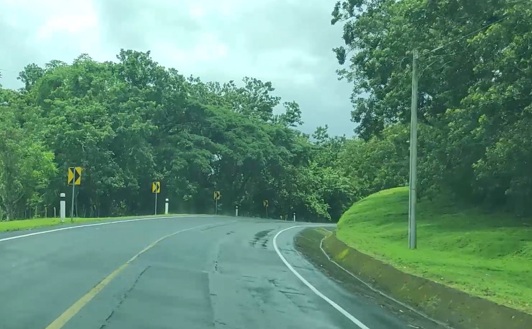
The project consists of the improvement of 84 km of road. The area of influence of the project is composed of the La Curva junction, the intersection of the NIC-7 and NIC-71 highways, in the department of Chontales passing through the municipality of El Coral, passing through the town of El Triunfo, in the department of Río San Juan, passing through the city of Nueva Guinea and the towns of Nuevo León, La Esperanza and the United Nations community part of the Autonomous Region of the South Caribbean Coast (RACCS). In addition, five ring roads were designed in the towns of El Coral, Nueva Guinea, La Esperanza, Nuevo León and the United Nations.
This project has been divided into three sub- strands, which are:
1.1 La Curva – El Triunfo = 36,660 kilometers in length
1.2 El Triunfo – Nueva Guinea = 24,620 kilometres in length
1.3 Nueva Guinea a Naciones Unidas = 20,445 kilometres in length
The projected road section has a total length of 81,725 km with a parked area of 0+000.00 with starting coordinates X=743,819,629, Y=1,326,823.184 (La Curva) to 81+725 and ending coordinates X=797,343,725, Y=1,298,697.52 (Naciones Unidas).
Study and Design Consulting:
- Carry out the Technical and Economic Feasibility Study to determine the level of investment and the most convenient technical and economic solution, through the study of different implementation alternatives for the project and the use as much as possible of the existing Pavement structure that the study identifies in good condition.
- Carry out the final engineering design based on the most cost-effective alternative of the feasibility study, and obtain the final engineering documents (construction plans, right-of-way impact plans, technical specifications, technical documents, calculation reports of quantities, costs and budget, Terms of Reference for Supervision).
- Quantify and budget all possible impacts on infrastructure and public services (drinking water, power lines, telephone poles, homes, land, etc.).
- Propose a track maintenance system with a service life of 10, 15 and 20 years.
- Develop Environmental, Social and Vulnerability Studies (survey of the environmental-social baseline; identification of environmental-social alterations; identification of environmental-social variables that represent a greater risk to the Project; identification of environmental-social impacts that the Project will generate; identification of possible sites of historical and cultural interest; environmental-social mitigation measures; development of PGA for material banks; public consultation on the results of the environmental-social study).
- Develop the appropriate Involuntary Resettlement Plan (PRI).
- Elaborate the geological and geotechnical studies and other necessary for the definition and design of stabilization measures on the United Nations road – San Francisco sector station 46+100.
- Elaborate the environmental and social study related to the current state of the slopes and the effects that could be generated during the implementation of slope stabilization measures, including environmental and social aspects.

